Come see live demos of Real-Time Detection of Adulteration in Spices at the American Spice Trade Association (ASTA) Annual Meeting, 16-18 April in Tucson. On the same days, you can instead see our Remote-Sensing turnkey and payload packages at the EARSeL Workshop on Imaging Spectroscopy in Valencia, Spain.
More environmental monitoring biologists, geologists, mining prospectors, and crop scientists are deploying hyperspectral imaging technology than ever.
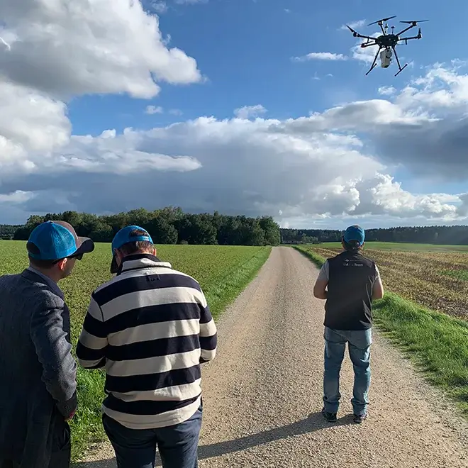
Non-contact acquisition of information about an object or spatial area of interest is what remote sensing is all about. Headwall imaging systems and sensors can be found in the field, aboard UAVs, manned aircraft, on Low-Earth-Orbit (LEO) satellites, and even in the International Space Station (ISS).
Water, land, vegetation, and atmosphere can be analyzed with tremendous spectral and spatial fidelity through passive sensing techniques such as hyperspectral imaging, or active sensing techniques such as Raman imaging.
Remote sensing makes it possible to collect data in inaccessible or dangerous areas, and then analyze that data for crucial decision making. Environmental conditions, regional or local disasters, vegetation health, erosion, forestry, and land use can be imaged, tracked, and analyzed.

Compared with less-capable color (RGB) or multispectral sensors, Headwall hyperspectral imaging sensors are uniquely capable of capturing and accumulating valuable scene data with full spectral information on a per-pixel basis.
Our vertically integrated approach means that our solutions contain spectral modules that Headwall has built from the cleanroom to the workbench to testing on the bench and in the air. Spectral ranges of interest for remote sensing include Visible Near-Infrared (VNIR, 400-1000nm) up through Shortwave Infrared (SWIR, 900-2500nm).
Headwall professionally calibrates and tests every airborne package we sell. This includes putting the package through a range of data-collection and data-processing exercises to assure the highest performance and most reliable operation. Our turnkey remote sensing packages come with the UAV and are flown in the same configuration that you will use on your own important missions.
Headwall’s hyperspectral imaging systems are designed to be used on a variety of drone platforms, including models by DJI Enterprise and NDAA-compliant or Blue UAS models by Freefly.
Copyright 2023 © All Right Reserved Design by Cloud a la Carte