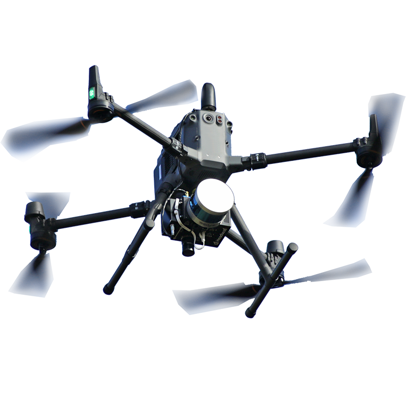
Search
Close this search box.
Search
Close this search box.

Hyperspectral Imaging Applications in Mining and Prospecting

Mineral Mapping

Drones and field systems with hyperspectral imaging are gaining traction as prospecting and mining companies adopt technology, increasing efficiency and enhancing safety. Mapping of the surface minerology of large areas by manned aircraft has been done for some time. Now higher spatial resolution imagery using UAVs that can also include hyperspectral imaging from the VNIR to SWIR range can be done using relatively lightweight, portable, and rugged systems.

Drone-Landing

Headwall’s turnkey packages with a Co-Aligned HP VNIR-SWIR and optional LiDAR deliver outstanding value. Deploy small teams at will instead of scheduling expensive flights by manned aircraft. Spectral libraries can be created using local ground truth measurements or samples collected in the field and scanned with a Headwall scanning kit.

OUR ADVANTAGES

  • Turnkey packages are configured and flight-tested, ready for use the day they arrive
  • Available LiDAR enables high-resolution Digital Elevation Model (DEM) and 3D point cloud creation
  • Included SpectralView classification software generates false-color maps
  • Training on payload operation at Headwall’s facilities is included

Case studies

Mineral Prospecting

Prospecting is the search for minerals and ores that suggest the presence of a mineral deposit worthy of mining. Rapid and accurate mapping of the
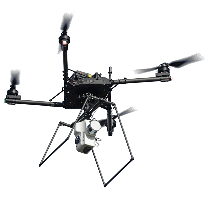
Read More »