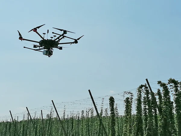

Learn about an ongoing mission flying lightweight UAVs with hyperspectral imaging systems over hops fields in Bavaria. Two webinars were hosted on March 12th, 2024, and we created a single recording that combines the best presentations and both sets of Q&A.
 Hops are green cone-shaped flowers of the Humulus lupulus plant. They are a climbing perennial with tiny yellow pods or glands called lupulin inside each cone—the source of bitterness, aroma, and flavor in beer.
The panelists were Francesco Beccari, Headwall EMEA & India Sales Manager for Remote Sensing; Johannes Seidl-Schulz, geo-konzept GmbH Produktspezialist Fernerkundung; Christoph Schimmer, geo-konzept GmbH Produktspezialist Fernerkundung; Florian Weiss, Researcher at Bayerische Landesanstalt fur Landwirtschaft; and Daniel Hajek, Research Student at Katholische Universitat Eichstatt.
![]() The Center for Hyperspectral Remote Sensing Europe (CHRSE) was founded by Headwall and geo-konzept to support the implementation and utilization of hyperspectral imaging technology combined with other sensor technology (e.g., LiDAR and GPS) with a focus on agriculture, environmental monitoring, mining, and infrastructure inspection applications.
The Center for Hyperspectral Remote Sensing Europe (CHRSE) was founded by Headwall and geo-konzept to support the implementation and utilization of hyperspectral imaging technology combined with other sensor technology (e.g., LiDAR and GPS) with a focus on agriculture, environmental monitoring, mining, and infrastructure inspection applications.