Spectral data classification at high spatial resolution

Prospecting is the search for minerals and ores that suggest the presence of a mineral deposit worthy of mining. Rapid and accurate mapping of the surface mineralogy of large areas greatly improves the efficiency and efficacy of mineral prospecting. Hyperspectral imaging (HSI) can produce maps of surface mineralogy using airborne imagery.
AIRBORNE IMAGE ACQUISITION
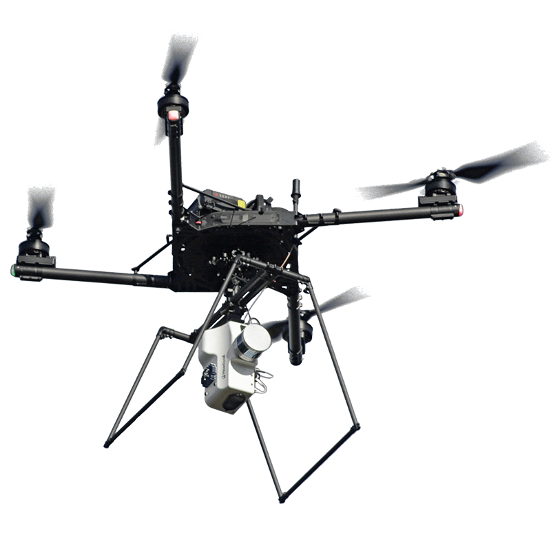
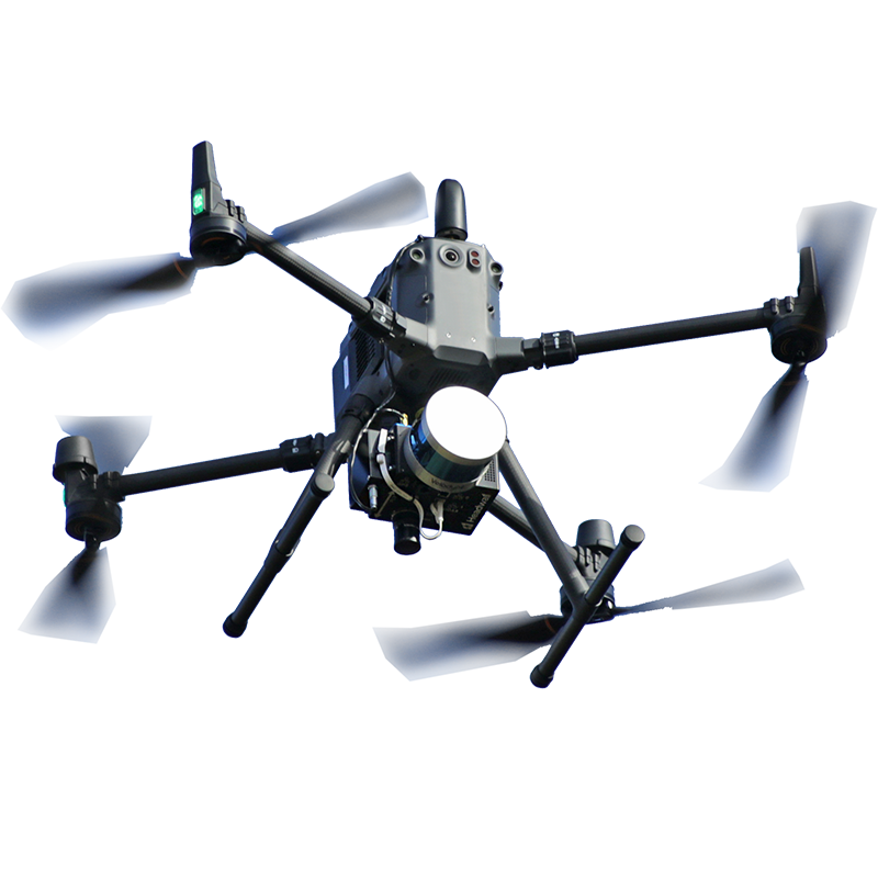
Airborne SWIR hyperspectral images were collected using a Headwall Co-Aligned HP VNIR-SWIR turnkey package. LiDAR data was also collected using the same Co-Aligned HP VNIR-SWIR and LiDAR turnkey package.
HYPERSPECTRAL IMAGE ANALYSIS
Headwall’s SpectralView® classification module was used to generate a false-color map of the surface mineralogy. Each color corresponds to a spectral signature representing a mineral or group of minerals as identified by an expert. A high resolution DEM was created from a LiDAR point cloud using Headwall’s LiDAR Tools. 3D renderings were created using the LiDAR DEM.


The results indicate that airborne hyperspectral imaging can be used for mineral prospecting with very good accuracy when suitable mineral spectral libraries are available. Ideally these spectral libraries should be obtained from a local ground truth measurement. This ensures that the spectral signatures match the local geology.
Benefits of Using Headwall Hyperspectral Imaging Technology
Unlike conventional grayscale or RGB color cameras, Headwall’s hyperspectral sensors capture a wide range of the visible to near-infrared spectrum in extraordinary spectral and spatial resolution. Such resolution is often needed to identify the spectral fingerprints of minerals of interest.
READY OUT OF THE BOX
Headwall’s turnkey Co-Aligned VNIR-SWIR hyperspectral imager with UAV and optional LiDAR comes with everything needed to fly missions, including flight and data acquisition training at Headwall’s facility in Massachusetts.
Benchtop laboratory scanning systems can augment systems deployed in the air or on the processing line. These compact and intuitive systems enable off-line imaging of samples to improve the algorithms used for inspection without having to shut down the processing line to run tests.


